Monday, 9 September, 2024 – Monday, 16 September, 2024
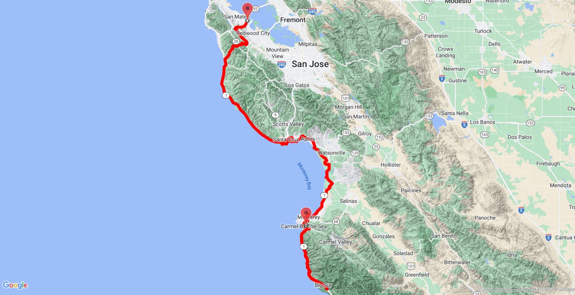
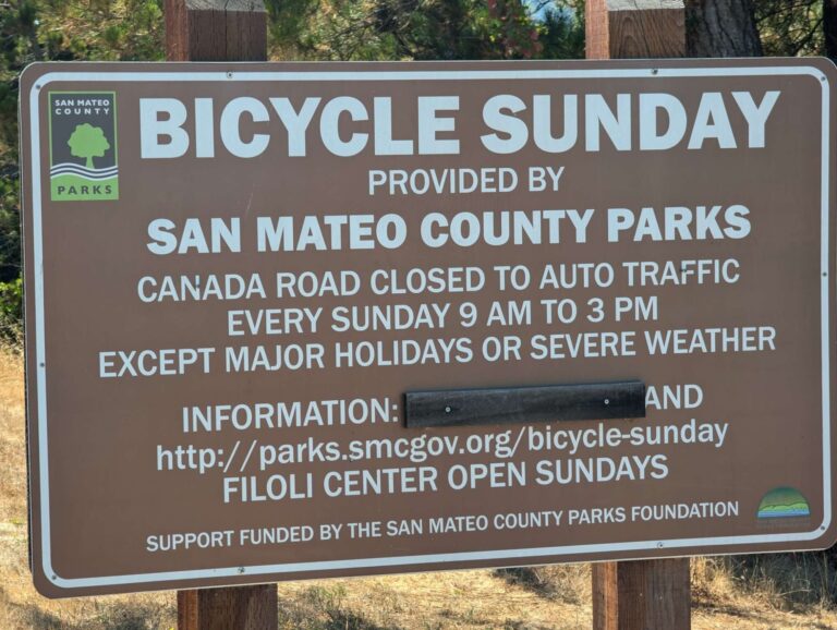
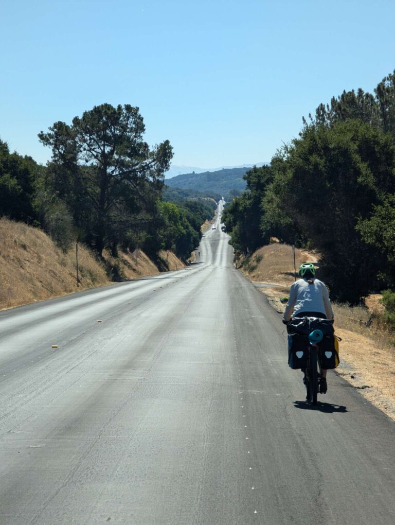
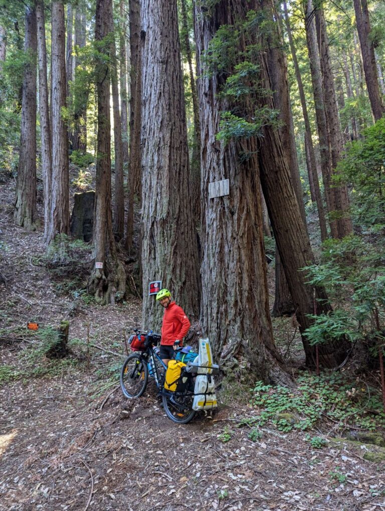
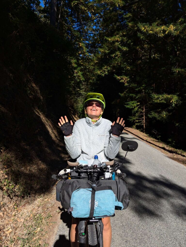
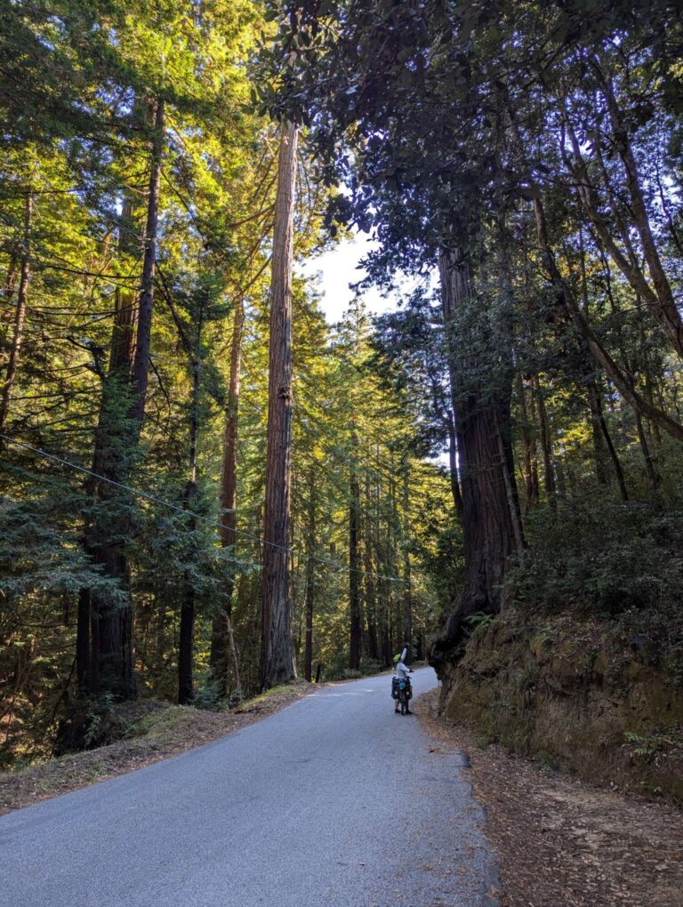
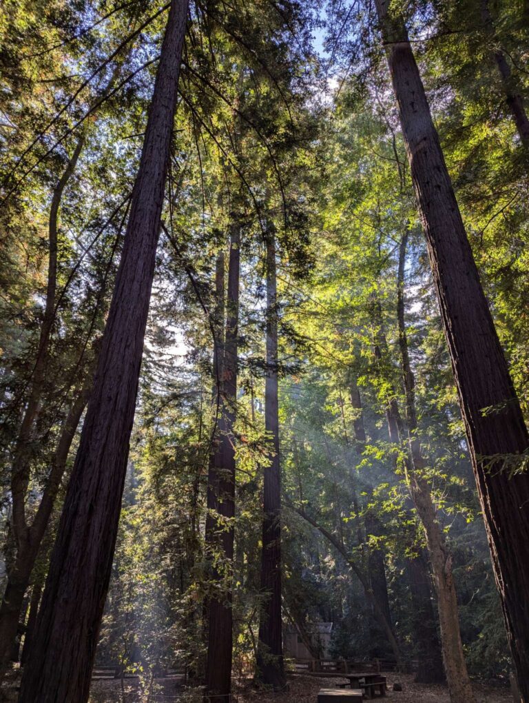
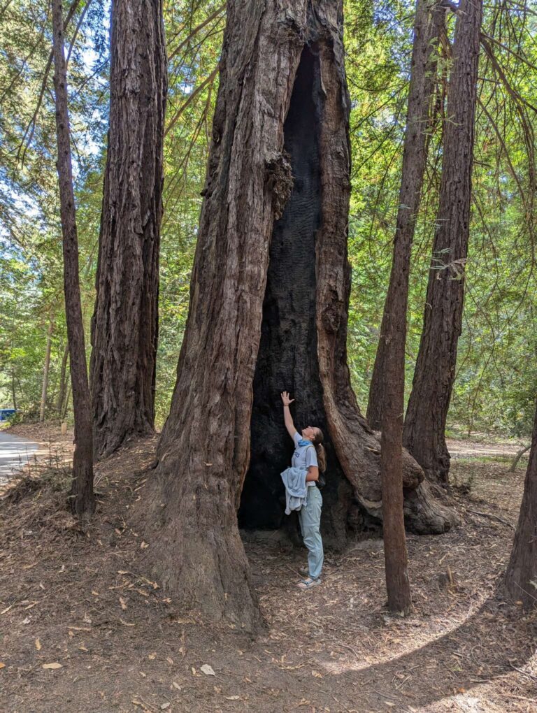
It was Monday, day 77 of our journey, and after staying with Shirley for a week, it was finally time to continue cycling. Because of Shirley, we were well prepared for the following 50 kilometers, and even after that, we had a general idea of where to go. We started in Foster City, going on the already-known path to Belmont CalTrain station, where we took a train to San Francisco center almost a week before. From Belmont, we followed Ralston Avenue, cycling uphill on a fairly busy road but with a nice shoulder. During the descent on the other side, we took a left turn to the Ralston bike trail, where we saw a snake right next to the trail. When we reached a lake, which is fenced away and serves as freshwater storage, we took a left turn onto Cañada Road. As we saw by the sign, every Sunday this road is closed for all motorized vehicles, which attracts a lot of cyclists. Before we reached Woodside town, we went right on Woodside Road, and fairly quickly we took another right turn on Kings Mountain Road. This is where the real climbing started, with 500 vertical meters in 7 kilometers of the road. We went slowly most of the climb, with some sections in between where we pushed our bikes a little bit. After a few breaks, we finally reached the top, where we crossed over Skyline Road, which goes on top of this mountain chain. Shirley warned us that there would be some climbing involved on Kings Mountain Road, but it seemed easy when we just talked about it in her house. At least the forest around us was incredible, with huge redwood trees that make you feel so tiny next to them.
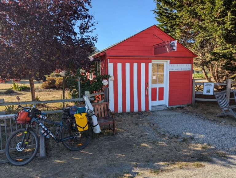
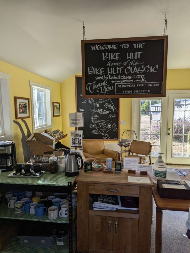
After crossing Skyline, we put on some long sleeves for the 10 kilometers of descent that followed down the Tunitas Creek road. It was a pleasant ride, but it was so cold that we almost wished for some climbing in the middle, just to warm ourselves up again. Just before the end of the descent, there was a small red-colored Bike Hut, a place open 24/7 for all cyclists. Inside, you can get some water, snacks, bike tools, spare inner tubes, coffee, and tea. The prices for everything are symbolic, and it operates on trust; there is no one there to check if you paid. It is a great concept, and hopefully, there will be more of them on our way. After that, we joined Highway 1, also known as the Pacific Coast Highway, which is the most popular route for cyclists that travel by the Pacific Coast. We will mostly follow it all the way south to the Mexican border.
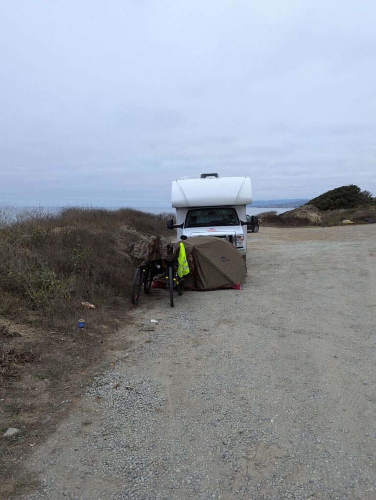
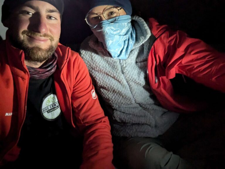
Evening and the darkness surprised us, and there weren’t any official camping spots close to us. We tried to find some decent place to set up a tent, but everything by the road was fenced off, and even without fences, everything was covered by small bushes. We didn’t want to ride in the dark, and Primož’s hamstring started to hurt after all the climbing we did that day. We ran out of options, so when we found a wide gravel shoulder with a few parked RVs and cars by the road, we simply joined them. We set up a tent next to the RV to avoid anyone running us over, and that was it—our first camping in the USA. Because we were close to the Pacific Ocean, the weather was much colder than it was in Europe, especially in the evening. That night we were wearing most of our warm clothes, and we even laid out an emergency blanket under our sleeping mats to reflect our heat back up.
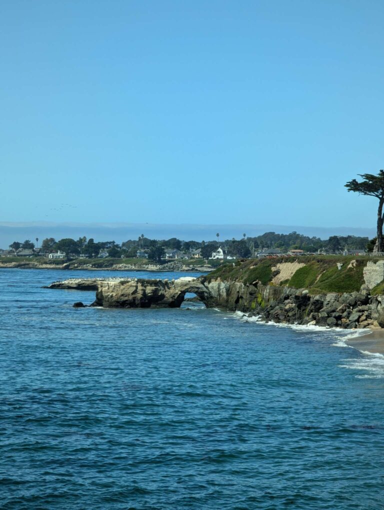
For the next day (Tuesday, day 78), we had 65 kilometers to our hosts in Santa Cruz, Maren and Theodore, and with a few breaks in between, we did it. But Primož’s leg was still hurting, and kinesiotapes were helping with not making the pain worse, but they didn’t heal. We needed a day off, and we were lucky enough to get another WarmShowers (WS) hosts in the same city. So day 79 was our rest day, and we spent it exploring the city, with a special focus on the words “Santa Cruz is worth visiting; it’s beautiful!” that we heard from a few people. Did it impress us? Not really. The coastal part of the city looked nice and touristic, but as soon as we went away from it into the city, everything was different. The city was crowded, a few streets in, and the postcard view of Santa Cruz was gone. We saw a lot of homeless people, and a few of them were screaming on the street, probably on drugs. In general, the inner city didn’t look very special to us. But there seemed to be a lot of people who cycled in their prime years, and they loved to talk with you and tell you where they’ve been. And the views over the ocean were nice; one could easily spend a couple of hours there just enjoying (and talking with people). We went to Natural Bridges Park, and we spent a few hours there before going to our second hosts, Sue and Tony.
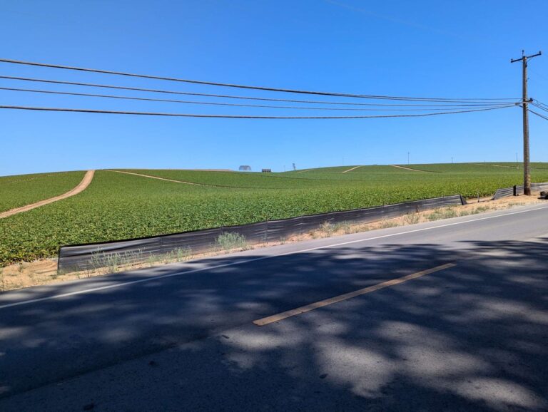
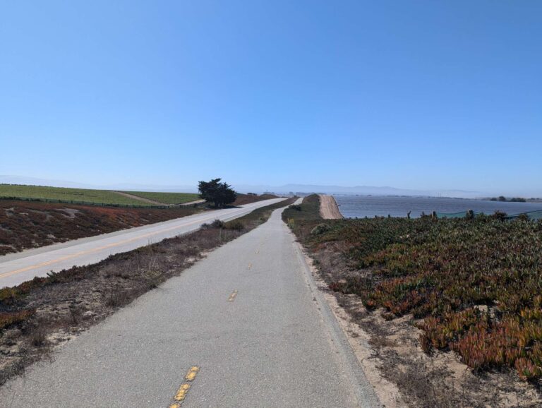
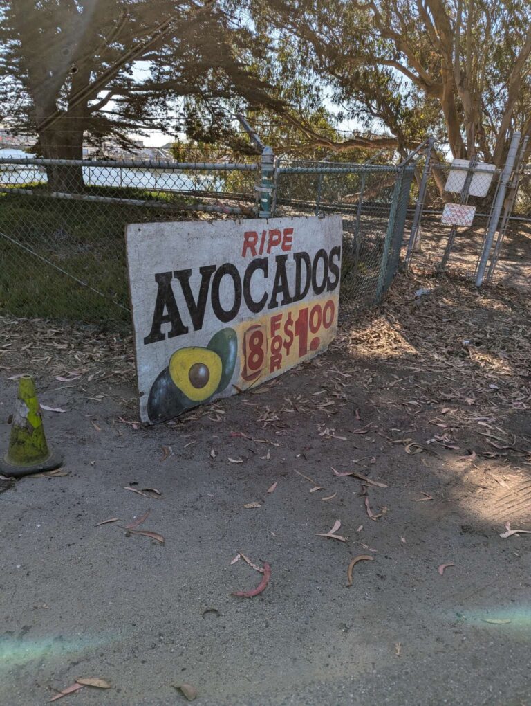
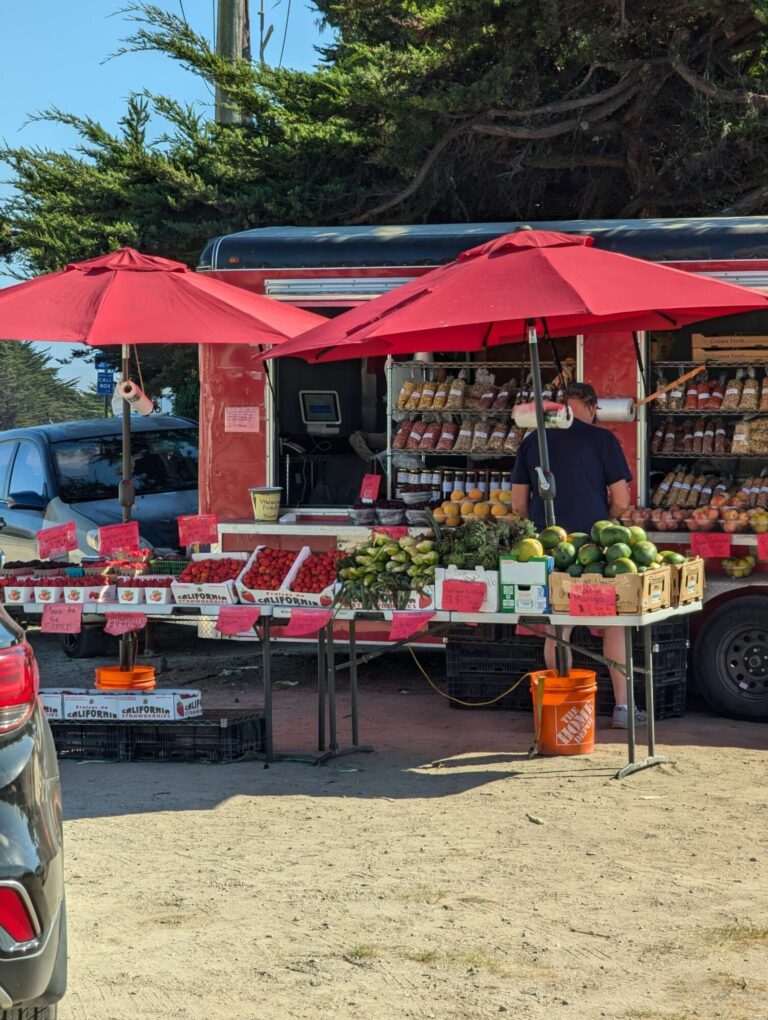
On Thursday morning (day 80), Tony gave us a map of California before we left. We continued south, went a bit inland, and crossed huge fields of strawberries, cabbages, lettuce, and other vegetables near Watsonville. Most cars that we saw there had small Mexican flags attached to them, and most people working in the fields seemed Mexican. We passed two fruit stands by the road, and we couldn’t resist buying 8 small avocados for 1$ on the first one. The second one, a few kilometers later, had an even better deal: 10 small avocados for 1 dollar and 10 small kiwis for 1 dollar. Of course we got some, and hopefully, this is just a blip of prices that we can expect in Mexico! The next 2 days we had avocados for breakfast and kiwis as snacks.
We did almost 50 kilometers from Santa Cruz to Moss Landing, where we had our next WS host, Robert. Before we reached his house, we had a break in Moss Landing, and while sitting next to the road, a homeless man came to us. He asked if we were traveling and if our bikes and luggage were everything we had with us. After confirming, he explained that someone was very generous with him that day, and he offered us 1$ to go and buy ourselves dinner. We were a bit shocked by the kindness, and we politely declined, saying that he should keep that dollar, but he stayed in our minds for the next couple of days. Often, people who have the least are willing to help you the most. We already saw that, and I think that we will see even more of that as we enter poorer countries. It makes you appreciate what you have at home, and it makes you think how easy it can be to help someone; it doesn’t take much. We already received a vast amount of help from all kinds of people, and we’re sure that once we come back home, we will do our best to pass this kindness forward, especially because we’re slowly seeing what it’s like on the other side and how much we appreciate it.
We met Robert at his place, and after an initial introduction, he went for a run and left us alone. We’re amazed at how many people opened their houses for us, and we could stay there even if they weren’t home. We’re still trying to figure out what makes people trust a random cyclist that they just met. Not that we’re complaining; it just makes you think.
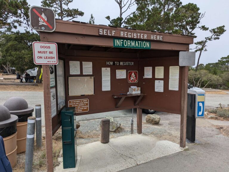
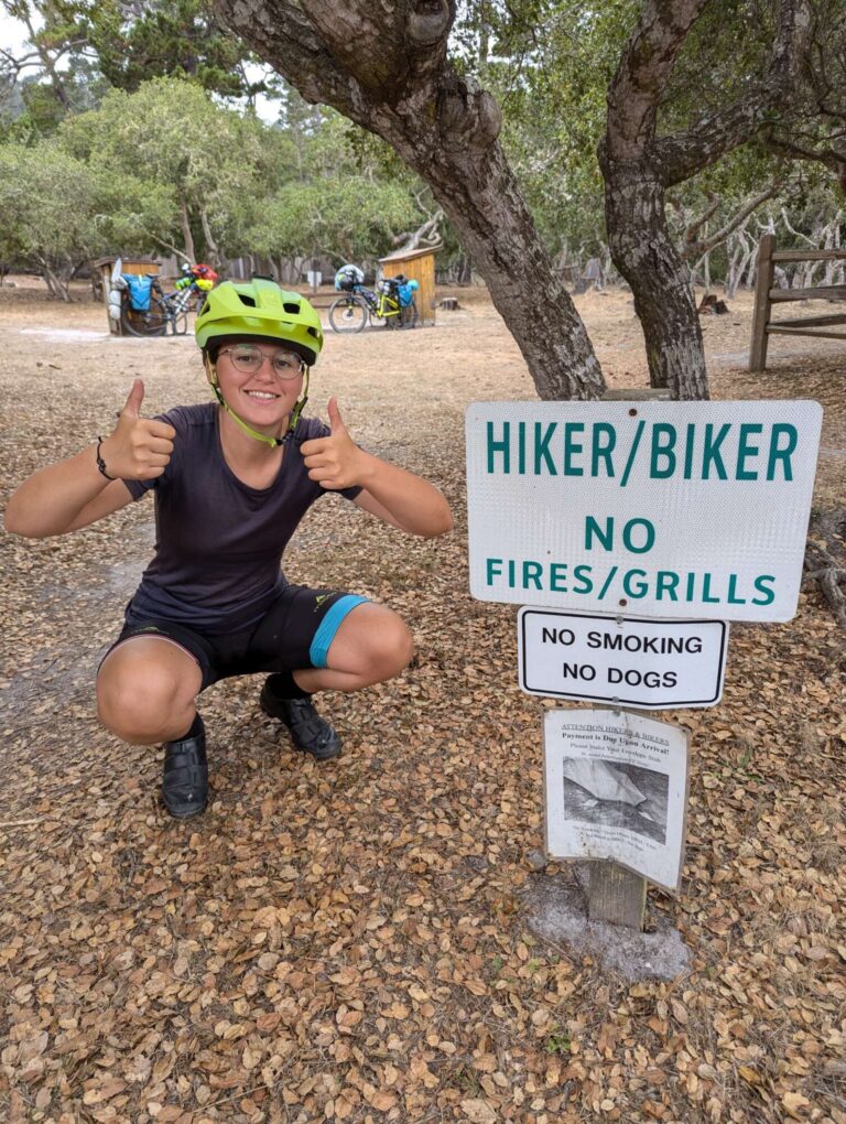
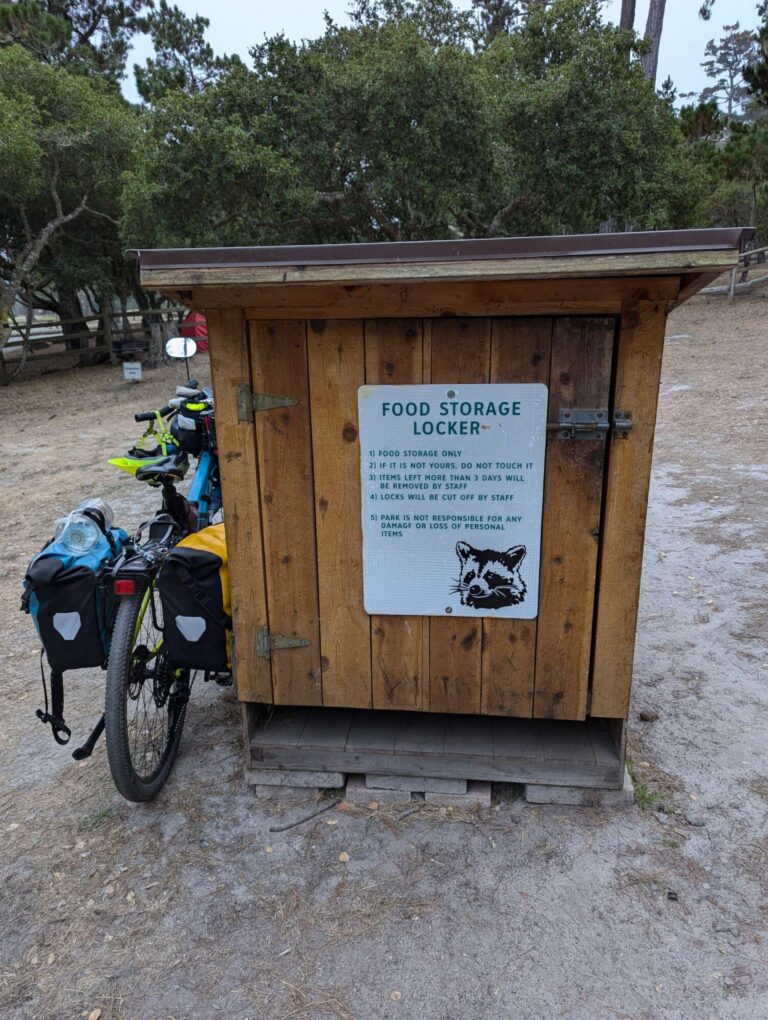
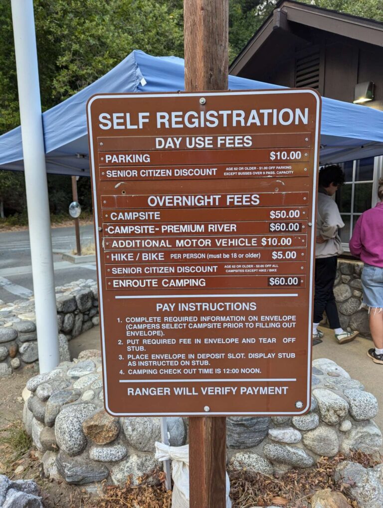
In the last couple of years, California started with Hiker/Biker camps in many state parks close to the coast, where a lot of cyclists travel. A lot of state parks already have camps, but they’re way too expensive for most cyclists to just spend the night. To address this problem, a lot of state parks have special camping zones and prices for people that come there without motorized vehicles. They normally cost between 0$ and 10$ per person per night and are usually limited to 1-3 nights. It’s not necessary, but most camps include at least toilets, usually also showers. We used the website gobikecamping.com to find them, and the one in Veterans Memorial Park Monterey was the first one we visited on the evening of day 81. It is located in the middle of Monterey, and we had some climbing to do before reaching it. It’s among the pricier ones, costing 10$ per person, but it has clean toilets and hot showers. As soon as we entered, there were signs to watch out for raccoons, so we used storage that they have in the Hiker/Biker part of camp to store all of our food. We didn’t want noisy raccoons going through our bags or coming into the tent.
Our original plan was to go by the Pacific coast all the way from San Francisco to Tijuana, which is a city where we will cross into Mexico. But then we had a brilliant idea: Let’s go see the largest tree in the world! It’s called the General Sherman Tree; it is 83 meters tall (275 ft), over 2000 years old, and it’s located in Sequoia National Park, around 250 kilometers east of the Pacific Coast. To enter that park, we would need to get a permit and rent a bear canister, then we would spend a few days there. If we decided to go there, we would have to go east from Monterey instead of continuing south. We got the following pros:
- see the tallest tree in the world,
- the possibility of seeing a bear,
- a few days in the wilderness with almost no people,
and cons:
- almost a week of riding over the Central Valley with crazy traffic and no places to camp,
- a lot of climbing at the end, because the park is at an altitude of 1700 meters,
- cycling is not allowed in most of the park,
- from there, we have another week of similar roads to get back to the coast,
- we would miss the supposedly most beautiful part of the California coast: Big Sur.
And so, after a long discussion, we have decided that we won’t go to Sequoia National Park. But we made a note on our To-Do list, and we will visit it sometime in the future.
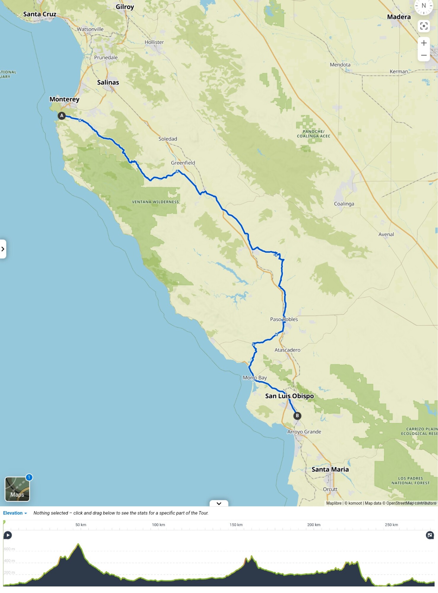
When this was decided, we had another problem: the road after Big Sur was closed because of the landslide that happened at the beginning of this year and is still active. There were already a few accidents by people who tried to cross it and they slipped down, someone quite recently. We’re loaded like mules (and almost as fast), so there’s no way for us to try and cross that landslide, so we will have to do a detour around it. But the bigger problem is that there is no good way to bypass this part. Both Tony and Theodore helped us with the planning of a detour around Big Sur, and in the end, the plan was to cycle by the coast to Carmel-by-the-sea, then follow Carmel Valley Road to Greenfield. From there, we would ride parallel to the 101 highway, through King City and Paso Robles, coming back to the coast in Morro Bay. This detour would take around 280 kilometers and 3000 vertical meters.
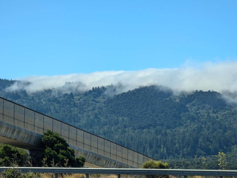
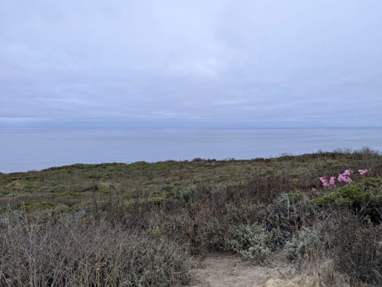
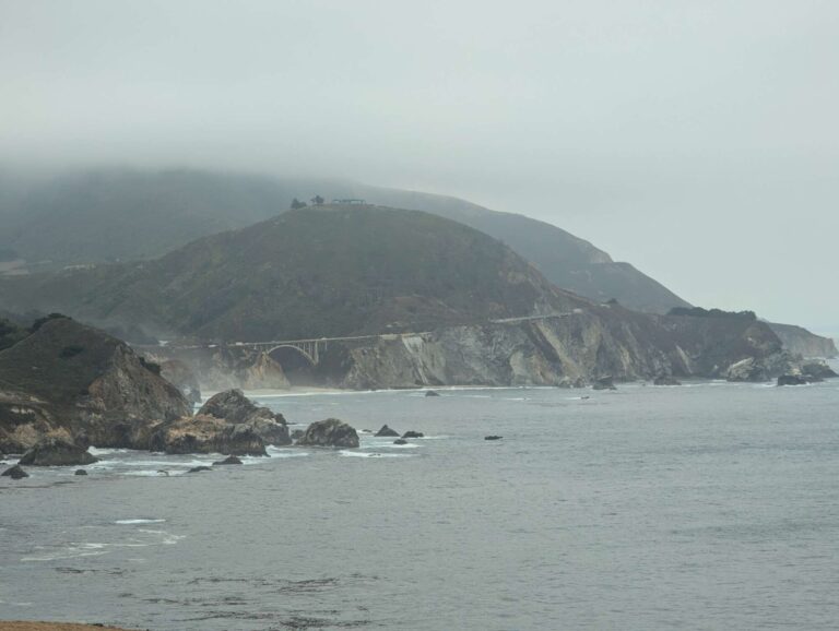
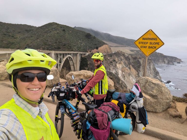
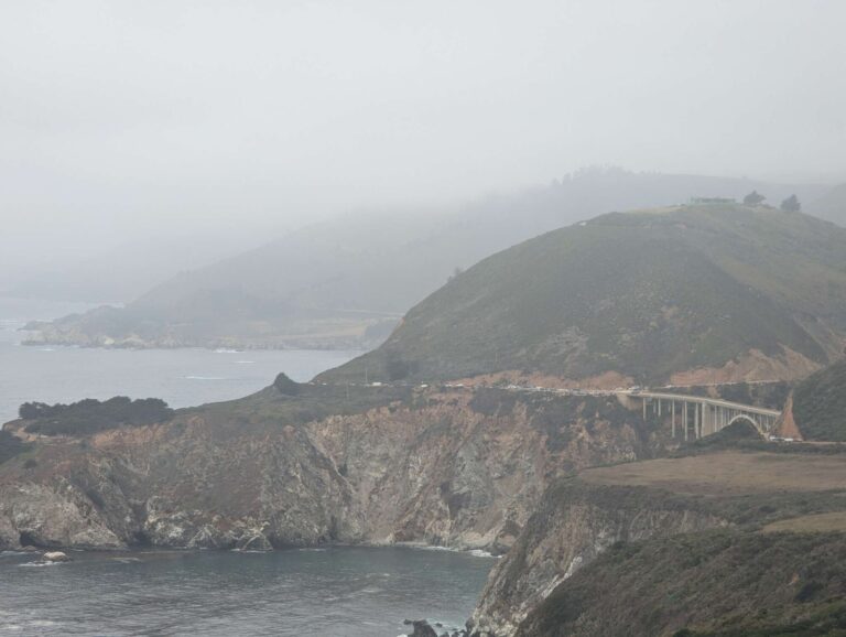
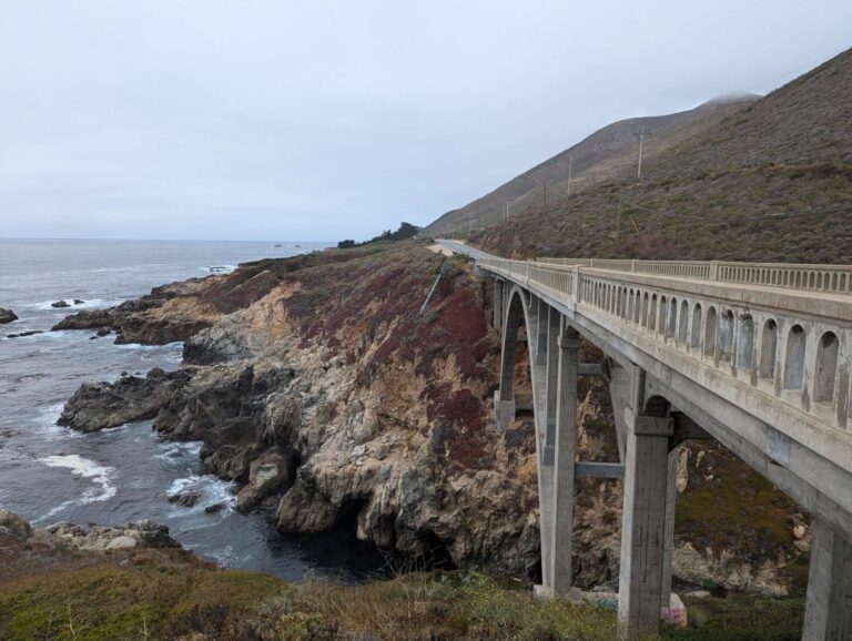
But before that, many people have told us how beautiful the coast around Big Sur is, so we wanted to see it, even if the price was to go back the same route. So, around noon on day 82, we left camp in Monterey and we continued south by the coast, passing the signs that said that the highway was closed south of Big Sur. What followed was similar to going to the best ski resort in summer. You’re at the right place, but your timing is a bit off. We rode the road to Big Sur, but the weather wasn’t the best. It was cold and foggy for the whole day; the first sunshine we got came at 5 p.m. So we missed most of the beautiful views of the coast and ocean. We crossed some nice bridges and stopped at some panoramic views (that were still crowded with tourists), but nothing looked like postcard pictures of California.
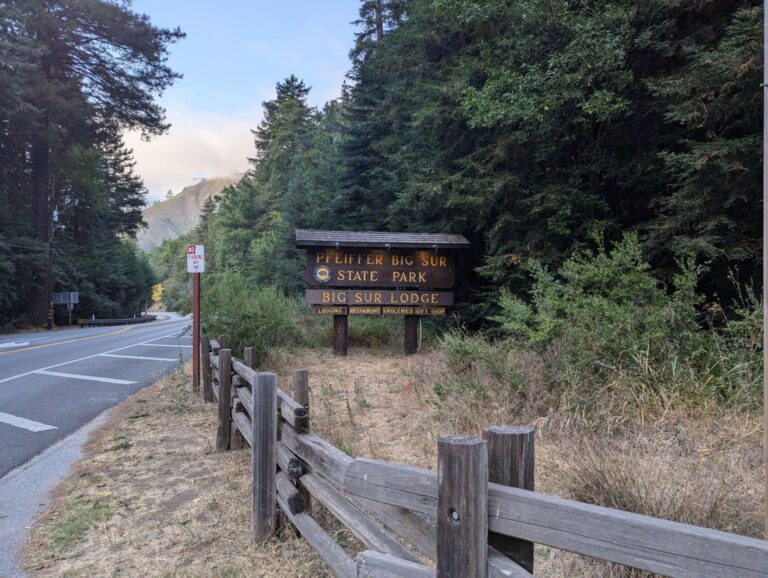
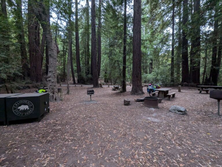
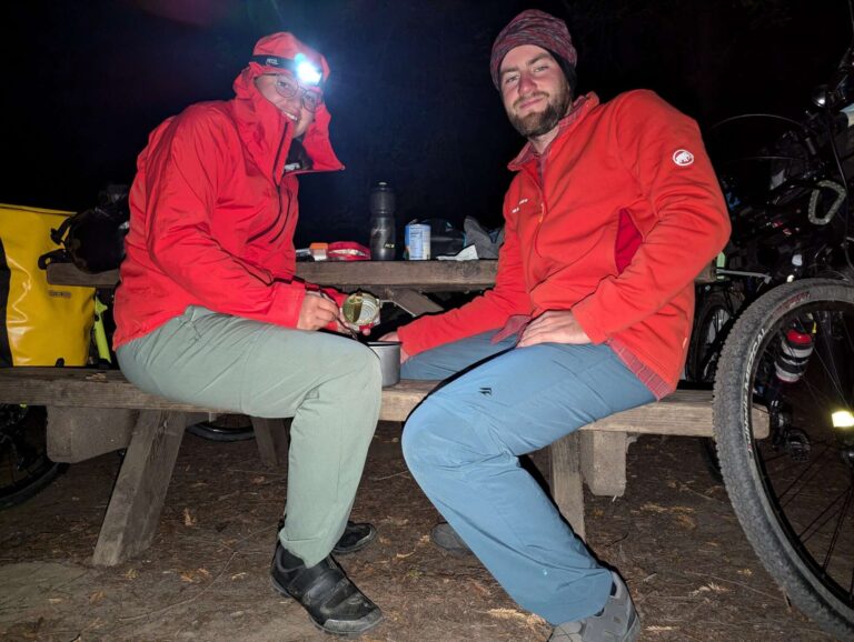
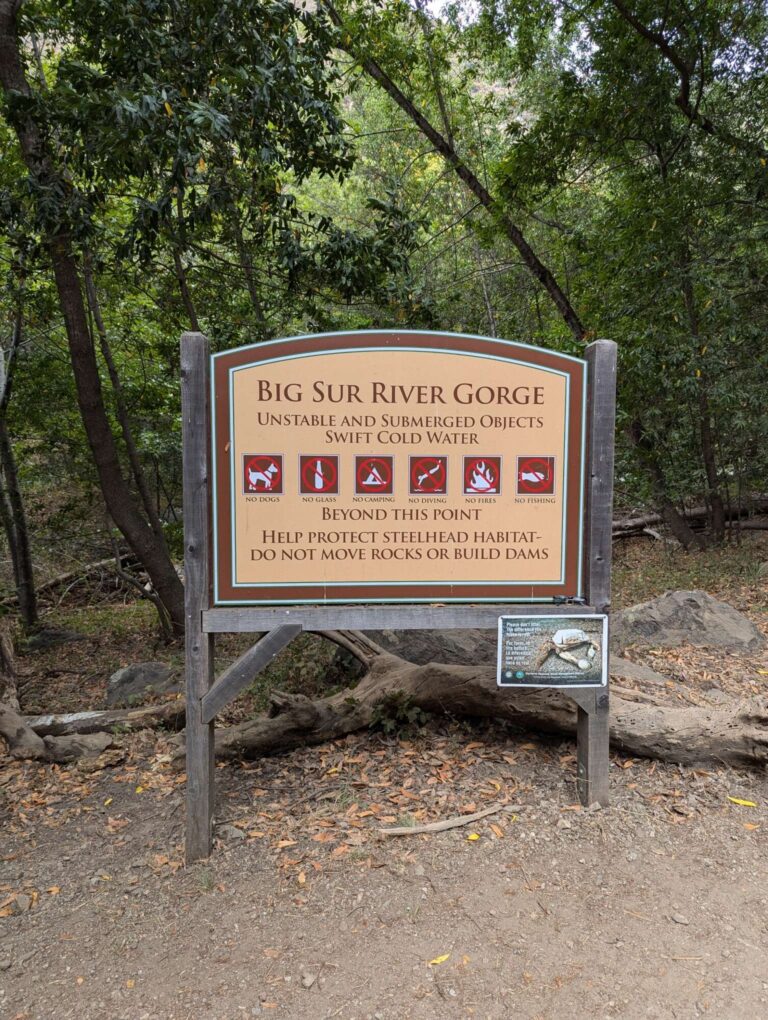
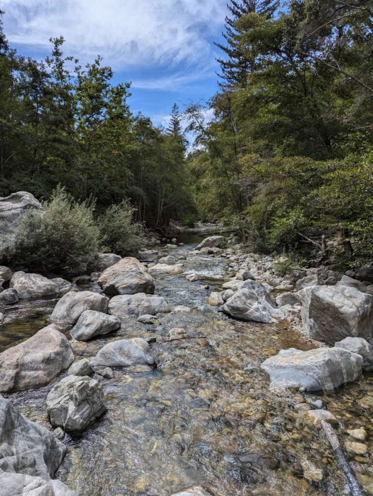
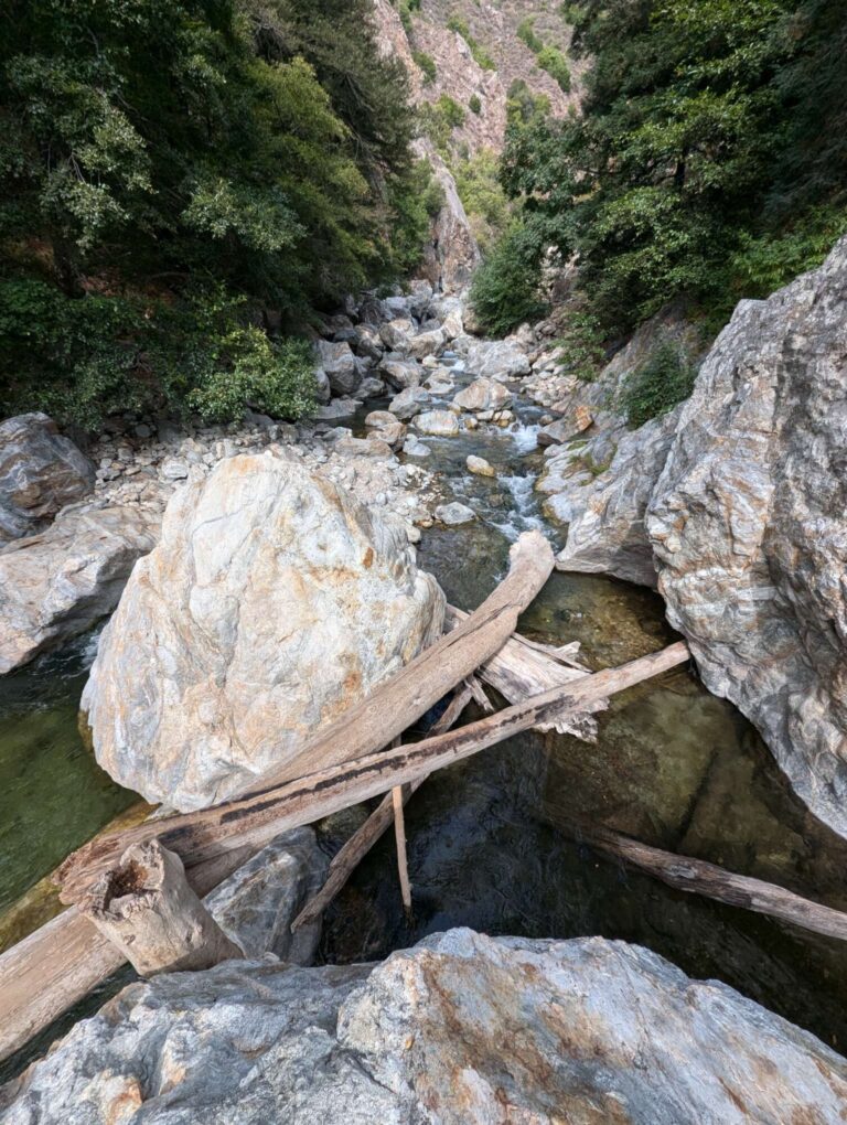
We arrived at Pfeiffer State Park near Big Sur and paid 5$ per person to stay in their Hiker/Biker camp. It was getting dark as we arrived, so we just set up a tent, ate dinner, and got to bed. We did over 50 kilometers to get here, with some long climbs in between, so we didn’t want to just turn around the next day and head back. We decided to stay for 2 nights, which is the maximum allowed duration; after that, you have to leave the camp for 48 hours. To do some other activity than cycling, we decided to do a short hike on the next day, day 83. We went to the visitor center in the camp, where we met Kristy and Ron, who worked there. They were great to talk to, and at the end, they pointed us in the direction of Big Sur River Gorge. It was a nice walk to the gorge, then we had to climb over rocks and occasionally get into the water to get higher up the river stream. We found a nice spot with deeper water and we jumped in there. The water was semi-cold; if the day was hotter, it would be perfect, but we enjoyed it anyway.
By the way, we learned something new: the difference between redwood and sequoia trees is the location where they grow. Redwoods grow by the coast, and they absorb moisture from the air (because of the fog), and sequoias grow more inland, getting water through their roots. Both of them can be over 1000 years old.
Everyone whom we talked to about the weather in California said that there won’t be any rain until November or December, but it seems that this year is different because, on Monday morning (day 84), we woke up to raindrops falling on our tent. Initially, it looked like nothing would come out of it; the rain stopped after a couple of minutes, and we managed to dry our tent before packing everything on the bikes. But just as we were ready to leave the camp, rain started again, and this time it didn’t look like it would stop soon. So we got into our rain gear and headed back north. We had rain all day, and because of the wind, we were a little bit cold all the time. The ride back was okay but not really enjoyable, and the view over the surrounding nature was even worse than on the way down. We arrived in Carmel, where we restocked on food and water, then we headed on Carmel Valley Road, the start of our detour around the landslide.
It was 4 pm, it was still raining, and we had already cycled for 50 kilometers, so we started looking for a place to sleep. Our idea was to ask at a church that we passed, but we couldn’t find anyone there, so we went to a park next to it, and our luck proved once again! We met Julie, an amazing woman who was kind enough to invite us to her home when we were wet and cold. When you need help, someone will show up, and we see this time after time. It was a short and uphill ride to Julie’s house, where we met Patrick, her husband. We had the best possible evening: a hot shower, a comfortable bed, and probably the best tortillas we ever ate. We also talked a lot about our plans to cycle in Mexico, and to be honest, they really scared us and made us rethink our journey (we don’t want to freak out our parents, so we won’t write all of the dangers and warnings here). But it was all in the best interest; they just wanted to warn us about what we wanted to do and about potential dangers that lay ahead. We’ve probably taken Mexico too lightly, just thinking that everything would be alright, but after that, we saw that we still had some research to do. We weren’t sure anymore if we wanted to cross over into Mexico; it would be much easier to just stay in the USA until the end of our 90-day visa. We’ll see how we decide whether it’s worth risking it or not.
SPOILER ALERT: While we’re writing this blog, we’re already in Mexico 😉
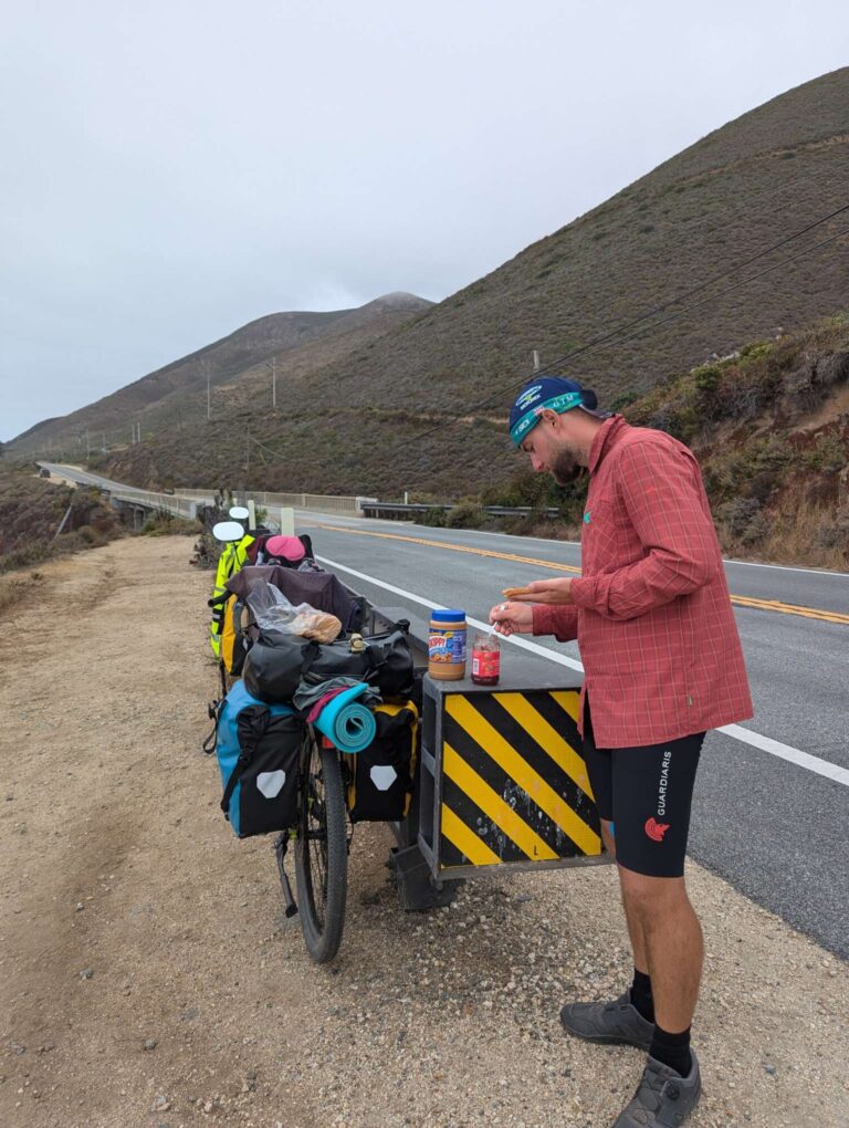
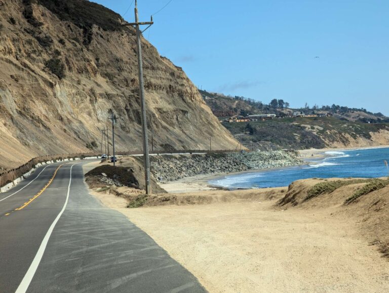
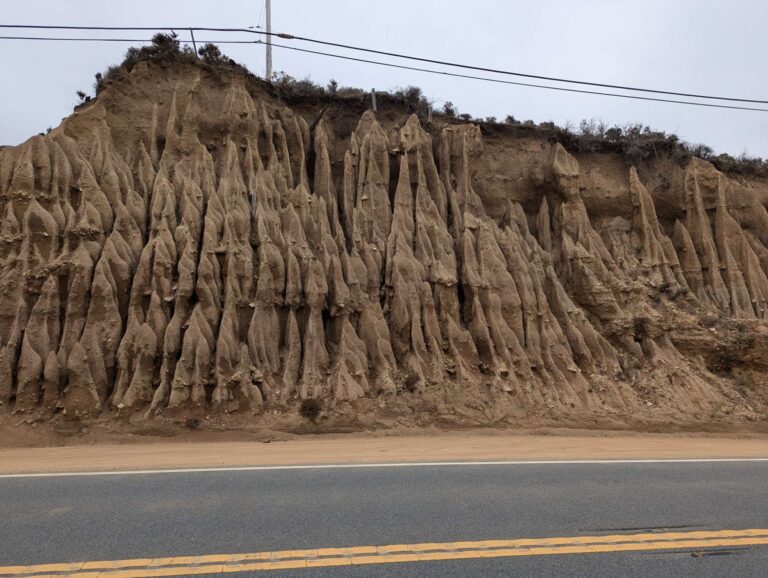
Some more pictures for you:

Hi Iris and Primož,
We are really enjoying following your progress. California sounds to have been great and we wish you safe onward travels in Mexico. We will be soon in the same continent as we leave for Brazil in a week’s time.
Luiz/Beatrice
Dear Beatrice and Luiz!
We are so glad to see you still following our journey and we wish so hard to be closer to Brazil so we could meet in person! Enjoy Brazil to the fullest!
We are sending you warm hugs and greetings 🙂